
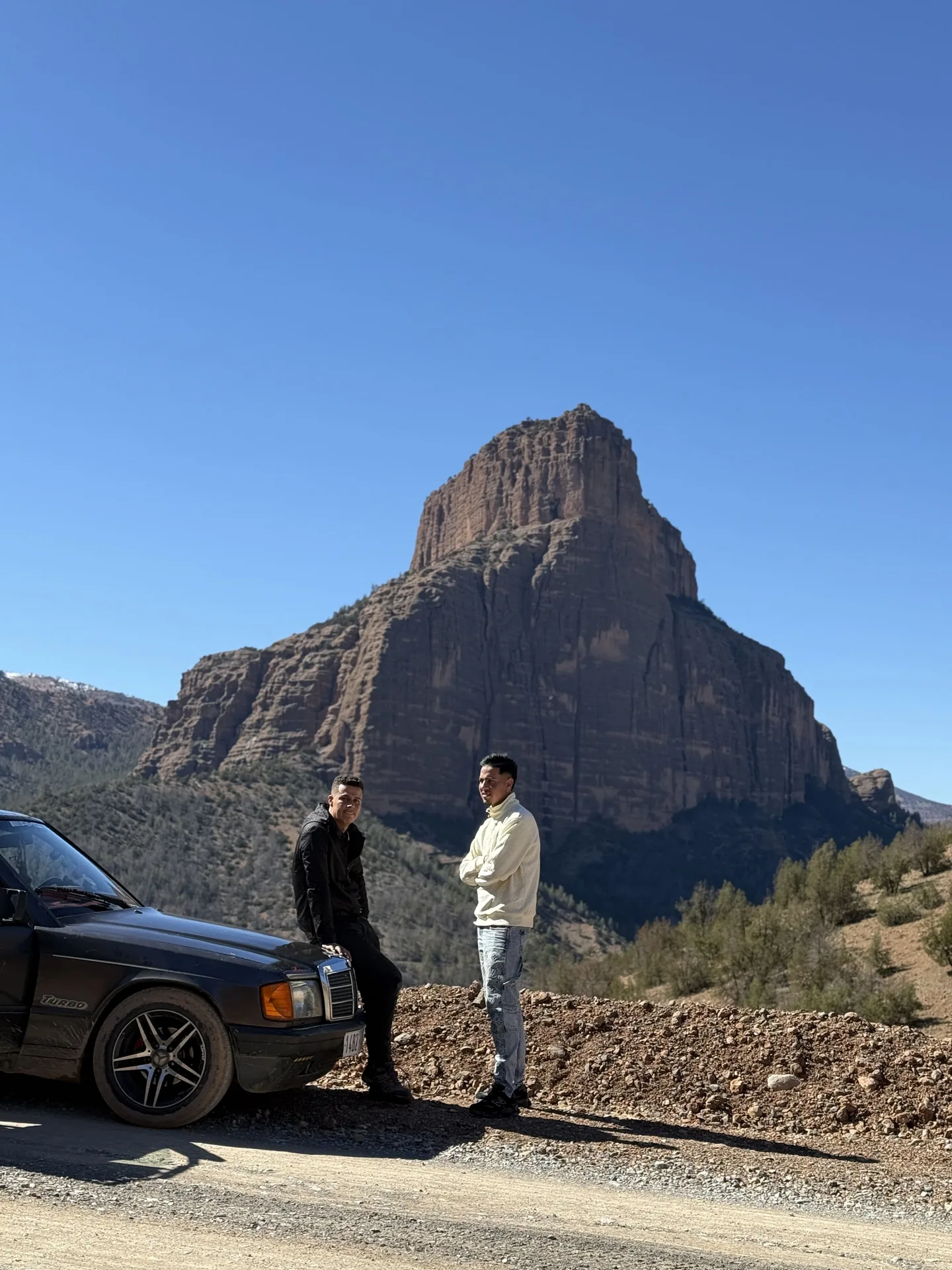
Planning a visit to Imsfrane Cathédrale from Béni Mellal, Azilal or Marrakech? Reaching this part of the High Atlas takes more planning than choosing a pin on a map. Use this guide for mountain roads, meeting points, realistic timing and a flexible three-day stay.
Where exactly is Imsfrane?
Imsfrane, also called Msfrane, lies in the Tilouguite commune of Azilal province. The area is known for forested valleys and a rock formation nicknamed the Cathedral because of its outline, not because it is a place of worship.
A name on a map may refer to a broader locality than the precise place where your host or guide expects you. Ask for a specific meeting point, whether it is a house, village, trailhead or roadside landmark.
Arriving from Béni Mellal or Azilal
A commonly used route towards the area passes through Ouaouizeght and Tilouguite. Roads become more mountainous as you approach, with bends and sections where driving is slower than a simple map estimate suggests.
Avoid relying on a fixed travel time without checking road conditions, departure point and season. Allow extra time for stops, roadworks and places where two vehicles cannot pass as quickly as expected.
Visiting from Marrakech or on a longer Morocco tour
If you are driving from Marrakech, Ouzoud or other destinations, assess the whole journey rather than just the straight-line distance. Mountain connections take time, particularly after a long day of sightseeing.
An overnight stay may be more enjoyable than trying to combine a long drive, a summit walk and waterfall visits on the same afternoon. Confirm transfers in advance when travelling as a group or with rafting equipment.
Driving safely in the mountains
Check tyres, brakes, lights and fuel before entering more isolated roads. Slow down near villages, animals and blind bends. Rain can leave stones, mud or surface water on some sections.
If possible, avoid completing an unfamiliar approach in darkness. Save an offline map, but verify recent conditions with local contacts: apps may miss temporary road closures or detours.
A practical three-day outline
Day one: arrive comfortably, explore the village area and take a short walk near the Imsfrane landscape. Day two: choose a summit hike matched to your fitness and enjoy an unhurried evening. Day three: explore the Ahansal gorges, waterfalls or a mountain-bike outing depending on weather.
A local summit programme may take roughly four to five hours, and a Gorges & Waterfalls circuit is described as about eight kilometres over three to four hours. These are guiding examples, not fixed promises for every group.
Can you include rafting?
The Ahansal is a whitewater destination, but rafting is seasonal. March through June is commonly worth checking, with occasional possibilities in July if river flow allows. No date should be guaranteed without a recent local assessment.
If rafting is a major reason for your trip, ask for an honest conditions update before changing an entire itinerary. Keep another nature activity available if the river is not suitable.
Prepare the small details
Confirm your accommodation address, meal arrangements, guide meeting point and transport for each activity. Cash, connectivity and services can vary across rural areas, so ask what you should bring.
Support local providers, respect private land and ask before taking pictures of people. Spending an extra night can turn a rushed viewpoint stop into a genuine visit.